Drone Surveying Services – Aerial Photogrammetry
Best Drone Surveying Services in Melbourne.
Our team of experts will deliver exceptional customer service and unparalleled quality, ensuring precise inspection, surveying, laser scanning, and photogrammetry services.
Get a free quoteWe specialize in Drone Surveys, delivering precise 3D Laser Scanned Models and full-featured Aerial Maps. Our team is always focused on the best outcome for your objectives.

Expert Surveyors & Drone Pilots
Our Drone Pilots and Aerial Surveyors are able to deliver on promised outcomes all the time. All our professionals are fully licensed and qualified to undertake your project.
CASA (Civil Aviation Safety Authority) Licensed Drone Pilots.
Land Surveyors with a minimum of 5 years experience.
Cutting-edge software for rendering.
Latest drones for 3D Aerial Mapping.
In the gallery
Featured Aerial Photography Projects
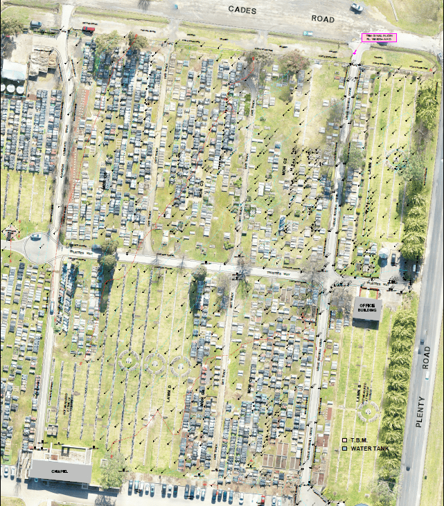
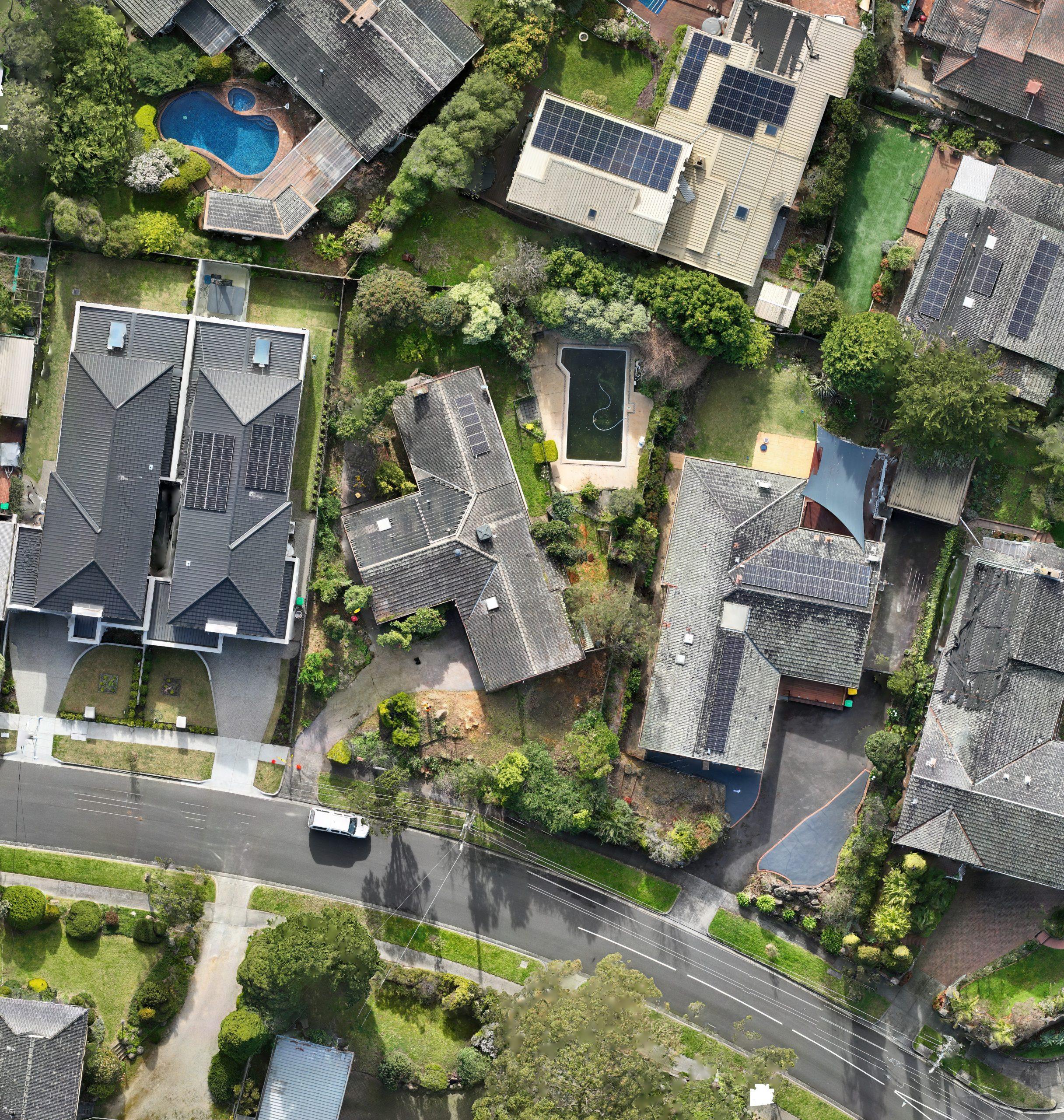
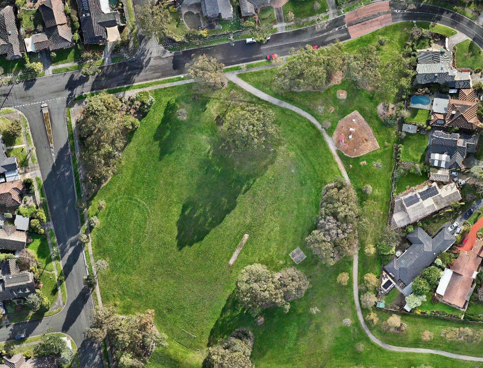
Below are some of the results of the work from our team of drone pilots and land surveyors. Get in touch to learn more.


Get to know us
About us
Dronesurveying is a full-service drone survey company based in Melbourne, Australia. Our established systems allow us to deliver the best solutions to commercial and residential clients. Built on a family tradition of caring, we are driven by a passion to exceed customer expectations and consistently delivering client satisfaction.
all drone pilots are casa licensed
30 years combined experience in land survey
expertise in gis and point cloud mapping
servicing eastern suburbs & inner-melbourne
What we offer
Our services
We offer the below services to meet the needs of your project and objectives. Our Drone Surveys can deliver outcomes for all fields in the building industry including engineering, architecture, land survey, and construction.
Drone Survey
At DroneSurveying.net, we specialize in high-precision drone surveying services that redefine accuracy and efficiency. Utilizing advanced UAV technology and GPS capabilities, we deliver topographical, volumetric, and construction site surveys with unparalleled detail. Our solutions are tailored to meet the unique requirements of industries ranging from construction to agriculture. Save time, reduce costs, and enhance decision-making with our state-of-the-art drone surveying services.
LiDAR Survey
Elevate your surveying capabilities with our Drone LiDAR services. We employ cutting-edge LiDAR technology integrated with UAVs to capture high-density point cloud data. This allows us to create hyper-accurate 3D models of the terrain, invaluable for environmental research, mining, and infrastructure planning. Our Drone LiDAR surveys offer superior accuracy and resolution, making them the go-to choice for professionals seeking data-rich insights.
Drone Photography
Capture the perfect aerial perspective with DroneSurveying.net’s professional drone photography services. Ideal for real estate, tourism, and event coverage, our high-resolution images provide a unique viewpoint that traditional photography can’t achieve. Utilizing drones equipped with top-of-the-line cameras, we offer stunning visuals that elevate your project’s aesthetics and functionality. Make your visuals stand out with our expertly executed drone photography.
Testimonials
Our customers
Have a read of some of the testimonials from happy clients of Dronesurveying. Our results will meet your expectations all the time.

Jamie
Land surveyor
Excellent outcome for my drone survey. Very happy to recommend Dronesurveying and would love to use them more in the future for any projects we need drones for.

Marie
Home Owner
I don’t normally write reviews for new businesses but Dronesurveying has given me a great outcome for a residential aerial survey for my property. 10/10

Greg
Home Owner
We needed a job done on a tight timeline and the team at Dronesurveying exceeded our expectations. The pilot for our project helped to answer any concerns we had!
we know what we’re talking about.
Blog
Read our blogs on Drone Surveying, Aerial Mapping and LiDAR Surveys where we share knowledge on the industry and methods we use on our projects.
Request a Free Quote
Not convinced? Get a FREE quote from our team on your project with pricing suitable for the size, scale, and time of your drone survey. Our services will guarantee a deliverable for your needs.
